
Our Species Profiles section provides general information about species considered to be invasive. Please note our profiles are not inclusive of all invasive species, nor does our information have regulatory implications or legal authority. The large numbers of invasive species prevent us from maintaining detailed information all species considered to be invasive. In addition, determining the invasiveness of a species depends on a number of local factors, including type of habitat. Our species profiles are provided as an educational informational tool.
Multiple factors are taken into account when we select species for profile development, including (but not limited to):
- Newly introduced species to the U.S.
- Species with high public interest
- High-risk species not yet established in the U.S.
- Species of regulatory concern
Our Species Profiles are researched consistently. All profiles include the scientific name, common name(s), synonym(s), and general information including where the species is native, when introduced to the U.S., means of introduction, and species impact (with citations). Our profiles also include distribution/maps/survey status, Federal regulatory status, images (includes extensive photos), videos, spotlights, and selected highly relevant resources for the species (organized by source), and access to all species-related resources included on our site.
See below to view Terrestrial Invasives (land-dwelling) or Aquatic Invasives (water-dwelling) species profiles by type. Also see:
- Species Profiles List - provides access to all species profiles on our site
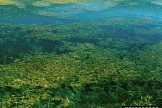
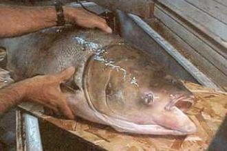
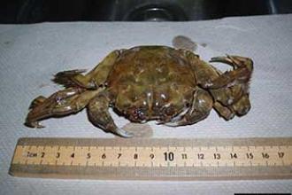
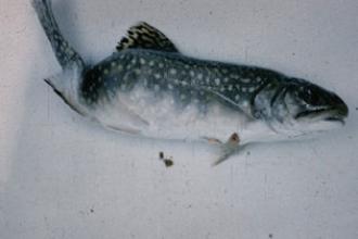
- Species Not Established in the U.S. - provides examples of invasive species of concern, not established in the U.S.
Species Information Disclaimer
NISIC provides general information about species considered to be invasive and our information does not have any regulatory implications. There are more than 6,500 invasive species established across the United States. The large numbers of invasive species prevent us from maintaining detailed information on all invasive species. In addition, determining the invasiveness of a species depends on a number of local factors, including type of habitat. The species profiles included on NISIC's site are intended to be an educational resource and should not be considered to be an official list of invasive species by the U.S. Department of Agriculture.